Monday, February 27, 2006

Gamelands Stone Circle

Gamelands stone Circle
Nr Orton
Eden
Cumbria

Sandwiched between the villages of Orton and Raisbeck in Cumbria, Gamelands Stone Circle lays in a field hidden behind a dry stone wall on the public footpath\bridleway, Knott lane, leading to Beacon Hill.

Above. A view of the circle looking South towards the Howgills.

The stone circle is collapsed now, but the stones that make up the circle would have stood around four feet tall when originally constructed.

Above. Looking West towards Birkbeck Fell Common.

The site is a Neolithic embanked stone circle consisting of around 30 stones, of the local ‘pink’ sandstone. The circle is pretty intact, only one side seems to be missing any stones.

Above. Another view looking West towards Birkbeck Fell Common.

The embankment is very feint now, and can only be seen on the top edge. The circle was excavated in the late 19th century, and there is documentation to suggest that a burial cist was unearthed. (A cist is usually a rectangular burial chamber sometimes buried beneath the earth)

The circle is in a beautiful setting, with Kirkby Stephen to the East, and Orton to the West, and the spectacular Cumbrian fells surrounding it.

Thursday, February 23, 2006

Twistleton burial cairn and hut circles

Twistleton burial cairn and hut circles
Twistleton,
Ingleton
North Yorkshire

I think this is probably the remains of a burial cairn. Compared with structures similar to this recently seen at Mallerstang in Cumbria, the original inclusion of this site on the blog as a hut circle is probably not correct.

The first two photos show the probable cairn just off the B road from Ingleton to Chapel le Dale, next to the river Doe. The cairn has either been robbed out or has collapsed, possibly due to flooding from the nearby river.

The next three photos show the remains of hut circles and enclosures, dating from around the same period. They are however, not so clearly marked as the first site.

There are a number of additional sites, including hut circles, enclosures and eathworks of both Roman and Iron age origin around this area near Ingleton. I'll be visiting some of these additional sites shortly and will post the photos here.

Thursday, February 16, 2006

Cappelside Hall

Cappelside Hall
Beethom
South Lakeland
Cumbria

The remains of Cappelside Hall are situated about 400 yards West of Beethom garden centre, just off the A6. The ruins sit in the middle of a field looking south across the valley towards the paper mill.

The site consist of substantial masonry and earthwork remains. The earliest documentary reference to the area of Cappelside is in 1336, whilst it is not until much later, 1691, before the hall is documented.

The buildings may have already have been abandoned by this time. Records from around 1760 describe the site as a large lordly residence, consisting of a central hall with two service wings to a height of three storeys. The buildings were largely destroyed during the 18th century but one of the wings was converted to a barn, but was in ruins by the 19th century.

It is a fragment of this structure that survives today, nearly 2 metres high and with walls up to a metre thick.

There is documentary evidence to suggest that the Hilton family owned and lived at the hall in its heyday. And it was this hall, owned at that time by Andrew Hilton, that King James I ordered his troops to search whilst looking for Guy Fawkes sympathisers and co-conspirators!!

It is obvious from the photos that the site is now much ruined, although the remains are certainly solid enough to suggest its defensive qualities, and the surrounding earthworks lay testament to the original size of the site. The remains are difficult to get to. From the road running alongside the garden centre at Beethom, Pool Darkin Lane, it is apparently possible to see them in the field to your left, though I parked up on Paradise Lane, and then walked across the fields to get a first hand view of the ruins.

Nether Hall, Witherslack

Nether Hall
Nr Witherslack
South Lakeland
Cumbria

Nether Hall lays just off the A590 as you travel from Kendal to Grange. It is a grade II listed building and is situated just outside the village of Witherslack.


The house was built in around 1400 as, possibly, a two or three storey tower. The original tower portion of the building is shown in the photo above. The small projection that can just be seen to the right rear of the house, is a 17th century kitchen, probably added by the Harringtons. The house still contains original walls that are around five foot thick, which some historians use as proof positive that this property was once used as a defensive building.

Above. Plan of Nether Hall.

There is some speculation that all references to a 'tower' in this area, are in fact relating to nearby 19th century Witherslack Hall. Whatever the true history behind this building, there are still certain aspects of its structure that need investigating.

Medieval moated site nr Farelton

Farelton Medieval moated site
Farelton
Nr HornbyLancashire

Just outside the village of Hornby on the A683 to Lancaster, lies a medieval moated site. The remains lay in the field between the road and the river Lune.

Above. View into the ditch, looking West.

The site consists of a complex of a moated outworks, with interconnecting channels surviving as well defined earthworks. Some of these channels appear to link the moat with the River Lune to the West. The whole site looks great from Google Earth's aerial photos.

Above. View of the raised earthwork platform, looking North East.

The only documentation that I can find relating to the possible history of this site, is that it could be the remains of the fortified manor house and park built in 1479 by Sir James Harrington.

Above. View of the earthworks looking West.

Licence to crenellate the buildings was granted and the site was strengthened and a park created. Both the fortified site and the park had reputedly fallen into disrepair by the 16th century.

Above. Full view of the earthwork platform looking North.

There are the remains of some masonry on the highest end of the earthworks, possibly the remains of a wall. Other masonry was visible when the site was excavated in 1978, when a narrow hollow way was discovered, linking the site with the nearby main road. The earthworks are just and so visible from the main road, but are not accessible.

The site was excavated in over 1964 and 1965, producing evidence that there was activity here during the 13th and 14th centuries. A number of finds were removed from trenches dug on the platform, including coins of Edward I, iron nails, bronze pins, an iron arrow head, a number of bronze rings, some window glass and an array of pottery sherds. A hundred years away to the North, a small, 10 meter by 10 meter platform was noticed, probably representing the remains of a dog kennel.

Above. Plan of the masonry found on the main platform.

The masonry on the main platform was substantial, and thought to represent the external walls of a large building. There was not enough of this building left for the excavators to even make a guess as to its use though.

Above. Photo of the masonry.

Above. Plan of the site made during the 1965 excavations.

This additional information comes from a report by A.J.White, and offers us only what is already available on the internet now. He summarises that, in his opinion, the site was built as a hunting lodge with the smaller platform built for dog kennels. The site may therefore have been built originally as the seat of the Harrington family's local interests and fortified to reflect their local importance, abandoned, possibly unfinished, and later turned into a hunting lodge or keeper's lodge. Documentary evidence is sparse.

If any further information regarding this great sites comes to light, I'll make sure this post is updated.

Yarlsber camp Ingleton

Yarlsber camp
Yarlsber
Ingleton
North Yorkshire

Yarlsber camp sits at the foot of Ingleborough, sandwiched between Easegill force and the B6480 to Clapham.

Above. A view across the top of the earthworks, looking North.

The site is thought to be an Iron Age defended enclosure. It covers about an acre and a half, and is surrounded by earthworks. At the lower end of the site, the earthworks are worn and low, whilst at the top, they are very well defined and up to a foot high. The defences at the top of the site are also double ditched with shallow ramparts…possibly the remains of entrances.

Above. View towards Ingleborough, looking North East.

The site has been excavated and investigated, but no signs of habitation were found within the earthworks. Stone was discovered beneath the earth ramparts, but was not datable.

Above. Looking across the earthworks towards Ingleton.

It is assumed that this site is similar in age to the fort on top of Ingleborough, ie Brigantian, although where this assumption came from, I'm not sure.

Above. View across the earthworks looking North West.

Above. Another view across the earthworks looking towards Ingelborough.

The site is very near to various medieval field systems surviving as earthworks and iron age\roman hut circles and enclosures.

Tuesday, February 07, 2006

Wharton Hall

Wharton Hall
Near Kirkby Stephen
Cumbria

Wharton Hall sits on the Eastern side of Mallerstang, about two miles outside Kirkby Stephen. Built by the Wharton family, the fortified residence overlooks the River Eden before it descends into the valley of Mallerstang.

The hall is a lightly fortified site, built around a courtyard with a spectacular gatehouse, and probably dates from the early 1400's. At this time a hall house was erected, with a tower house soon being added to the range of buildings. The tower house now stands in ruins at the other end of the site, and was not seen on my visit.

Sometime around 1520, the banqueting hall was built, the great hall and the kitchens were added, and the whole site began to take on the shape of a high status manorial centre. In 1569 a domestic chapel and a cross wing house were built, and the gatehouse was added. The whole site was no surrounded by a 'curtain-wall' with the gatehouse providing secure entry and exit from the courtyard.

Some of the buildings incorporated into this site are grade I listed, and have undergone some renovation and repair to a very high standard.

The house (shown above) has been beautifully restored, with many of the original mullioned windows still in place. The gatehouse, although roof less, is in good condition.

The Wharton coat of arms remains in good condition in a carved panel above the doorway in the gatehouse.

Postcard (from personal collection) showing the Northwest range of buildings (to the left) dating from around 1559. The gatehouse can be seen at the right of the photo.

Postcard (from personal collection) showing a view of the interior of the courtyard, with a range of buildings, including the three storey Main Hall at the far left of the picture, dating from around 1415, study, bedchambers and butter, with the kitchen at the far right hand of the picture.

Postcard (from personal collection) showing the 'pele' tower at the corner of the courtyard. Periam and Robinson agree that this building was a solar tower, and is one of the earliest parts of the whole site.

Postcard (from personal collection) showing the kitchen tower at the North East of the site. This building is now roofless and not used.

The photo above, shows the kitchen tower as it appears today.

It is fortunate that a public footpath runs right past the farmyard, affording great views of the gatehouse and other buildings on the outer edge of the site. Please be aware, that the public footpath does not provide access to the gatehouse....from this point, the farm yard is private property.

Monday, January 23, 2006

Selside Hall nr Kendal

Selside Hall,
Selside nr Kendal,
South Lakeland,
Cumbria.

Selside Hall is situated about three miles outside of Kendal, between Watchgate and Garnett Bridge. The hall was built in 1540, on the site of an earlier house built in the late 1300’s. The earlier house is no longer visible, but the 15th and 16th century wings (sometimes interpreted as towers) are still visible, along with some 17th century additions.

Above. A view of the North face of the Hall, from the church car park.

The hall is described as a twin tower house, one tower of 15th century origins, the other of 16th century. Due to the relatively thin walls, the house has easily been transformed from a defensive building, to a house…..and it is for this reason that it is fairly difficult to see at first glimpse the history behind the property.

Above. A view of the hall from the South West, looking towards the church.

It is reputed that a room on the first floor of the hall, was at some time used as both an Anglican and a Catholic chapel, until the church, dedicated to St Thomas, was built. There are also mentions of priest holes hidden throughout the house. It is thought that the hall belonged to the Thornburgh family of Hampsfield in Cartmel, although it was probably built by the Selssed family. A staunchly Catholic family, the Thornburghs would have had good reason to have kept a secret chapel in the hall. The kitchen is now thought to occupy the room once dedicated to the chapel.

Above. A close up of the South wing of the hall.

Several commentators now see this building as a simple hall with two cross wings...much the same as the Castle Dairy in Kendal...and no claim of fortification has ever been made of that building. As more information comes to light, it will be posted here.The hall can best be seen from the small car park opposite the church, as the road does not run directly past the hall.

Thursday, January 19, 2006

Photos of favourite castles

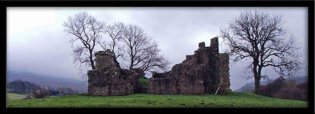
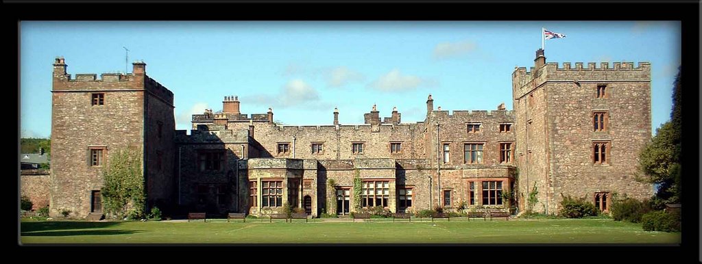
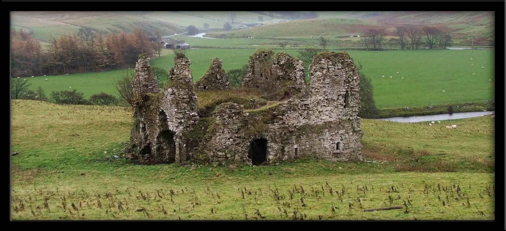
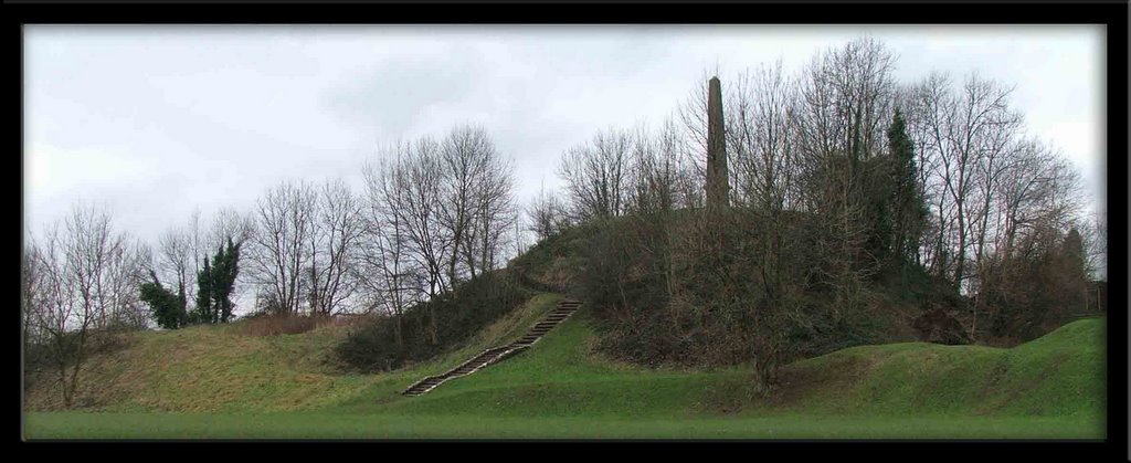
Piel Castle

Pendragon Castle

Muncaster Castle

Lammerside Castle

Castle Howe Kendal

Brough Castle

Hornby Castle Stede

Hornby Castle Stede,
nr Hornby,
Lancashire

Travelling South on the A683, head back towards Lancaster. Just as you enter Hornby, there is a turning to your right, which takes you down towards the river, heading out towards Gressingham. You can safely park in the lay by once you’ve crossed the bridge. Once you’re parked up, head back across the bridge again, and turn left through the stile in the wall. The footpath takes you up a grass embankment, and straight into the bailey of the castle.

The above photo shows a view of the castle looking North towards the modern causeway that leads into the bailey area. The banks here are about five to seven feet tall, and stretch from the West at the road side, to the ditch that runs around the base of the motte to the East. The ditch that can just be seen in front of the banks, is now only around two feet deep, but would most likely have been much deeper when the castle was in use.

This is the largest and most intact motte and bailey in Lancashire. The site is widely regarded as the best preserved example of a motte and bailey castle in the county, and it’s easy to see why. This motte and bailey, built later than Melling, is only around two miles down river from Melling, and represents another Norman castle protecting the line of the River Lune.

The above photo shows a view of the motte looking towards the West. The fields slope off drastically to the North (Right of the photo) down towards the River Lune, providing an effective defensive barrier.

As you enter the bailey, which lays to the west side of the motte, you cross a recently added earthen causeway. The bailey is huge, estimated at around two and a quarter acres. This portion of the site is apparently built on the site of an iron age hill fort, and its position over looking a bend in the river, must have offered excellent defensive qualities. To the north and the west of the bailey, are well defined ditches and earthworks, marking the site out incredibly well.

The photo above, shows a view of the bailey banks, looking North West. This photo demonstrates the height to which the banks still survive. The break in the bank to the right of the photo, is in fact the remains of the ditch that runs around the base of the motte.

The motte, which stands some 15 metres tall, is surrounded by a ditch to all sides, except where it slopes off towards the river below it. The castle was built in the early days of the 12th century, but was abandoned some time later, possibly in the late 13th century, when the nearby castle in Hornby was built as a direct replacement by the Longuevillers family. The earthwork remains were put to use during the second world war, when a pill box was situated on the embankment over looking the road bridge.

The photo above, shows a great view of the motte from the bailey banks looking East. The ditch around the base of the motte has survived to its greatest depth on the West side of the earthwork, inside the bailey area.

The motte is very overgrown, with some well established trees growing from its sides. A great deal of work appears to have been done to the motte to stabilise it. It is pitted with rabbit holes, and therefore fenced off….however the foot path runs all the way round it affording excellent views.

Another view of the motte (above) this time looking from within the bailey area towards the South. The fence on the left hand side of the photo, shows the Eastern boundary of the bailey.

The above photo shows a good view of the motte from the far Western end of the bailey area. The motte, now tree lined, still stands a good twenty feet above the bailey. The bailey's defensive bank can just be seen towards the right of the motte.

The site is easily accessible at all times and deserves a visit to see what a large motte and bailey castle would have looked like.

Philip Davis' photos of the Lune Valley Norman castles are well worth a look.